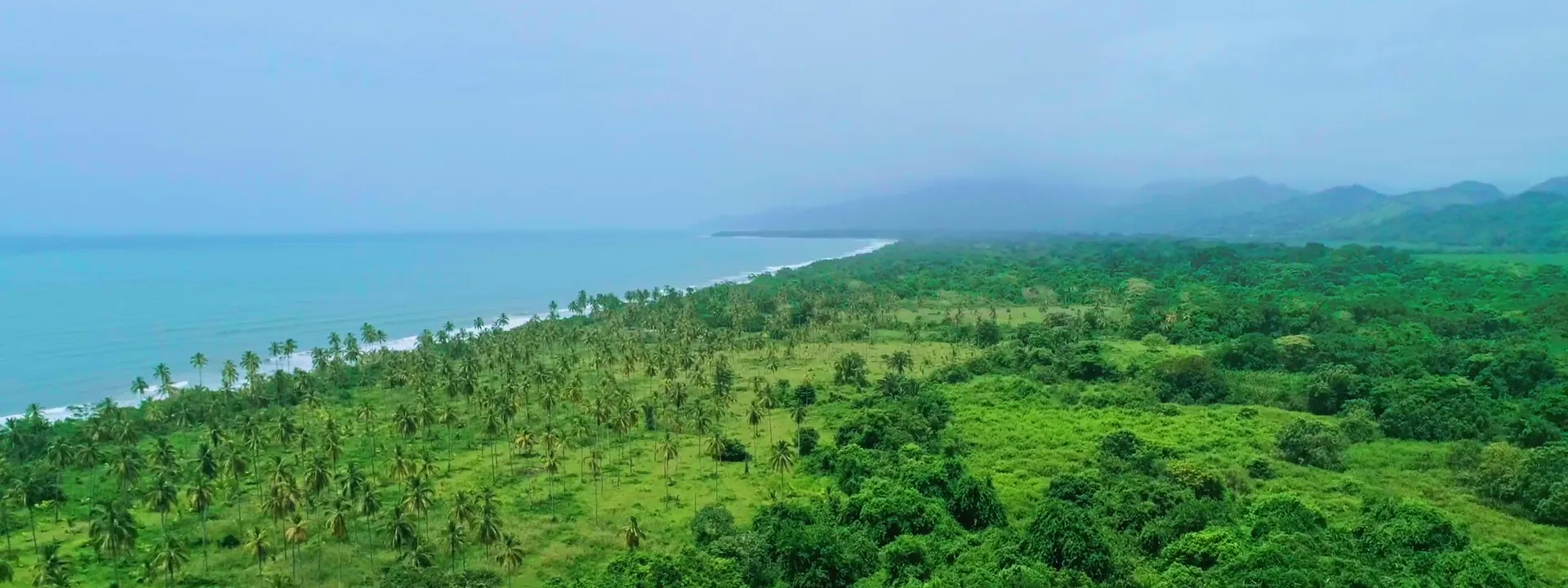
La Mami – La Coquera
Five coastal lots in Buritaca, Santa Marta.
- Lots
- 5
- Total area
- 53,293.92 m²
5.33 hectares - Price
- Price on request
Survey plan · June 2024reference areas
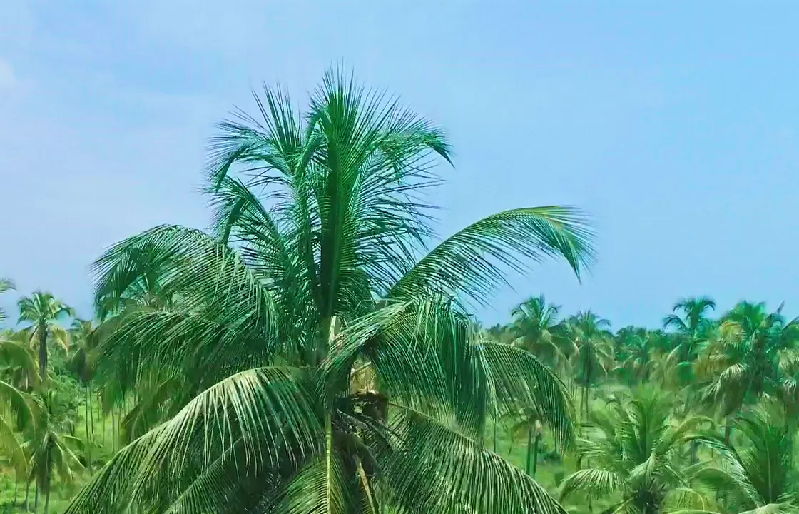
Coastal lots among coconut palms
La Mami – La Coquera offers five adjoining lots in Buritaca, Santa Marta. Each has a reference area of approximately one hectare, in a coconut-palm setting near the Caribbean Sea.
Enquire about an individual lot or several lots. Review the plan, compare areas and arrange a visit.
Offer details
- Five lots numbered from west to east.
- Reference areas from the June 2024 survey plan, subject to verification.
- Price and sale terms on request.
Legal subdivision and transferable private area require documentary verification. The beach is not included in the sale.
Find each lot on the plan
The lots are numbered 1 to 5, from west to east. Choose one to open its page.
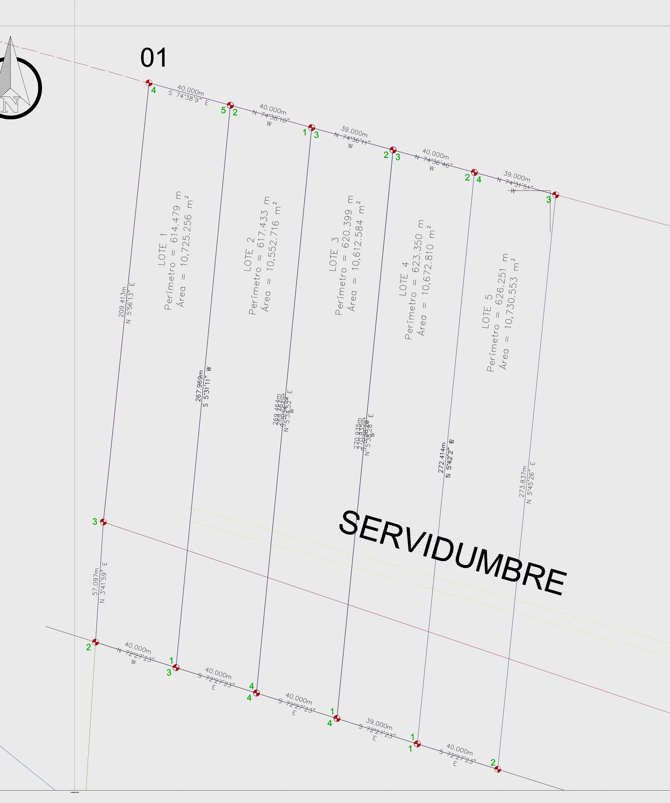
- Lot 110,725.26 m²1.07 hectares
- Lot 210,552.72 m²1.06 hectares
- Lot 310,612.58 m²1.06 hectares
- Lot 410,672.81 m²1.07 hectares
- Lot 510,730.55 m²1.07 hectares
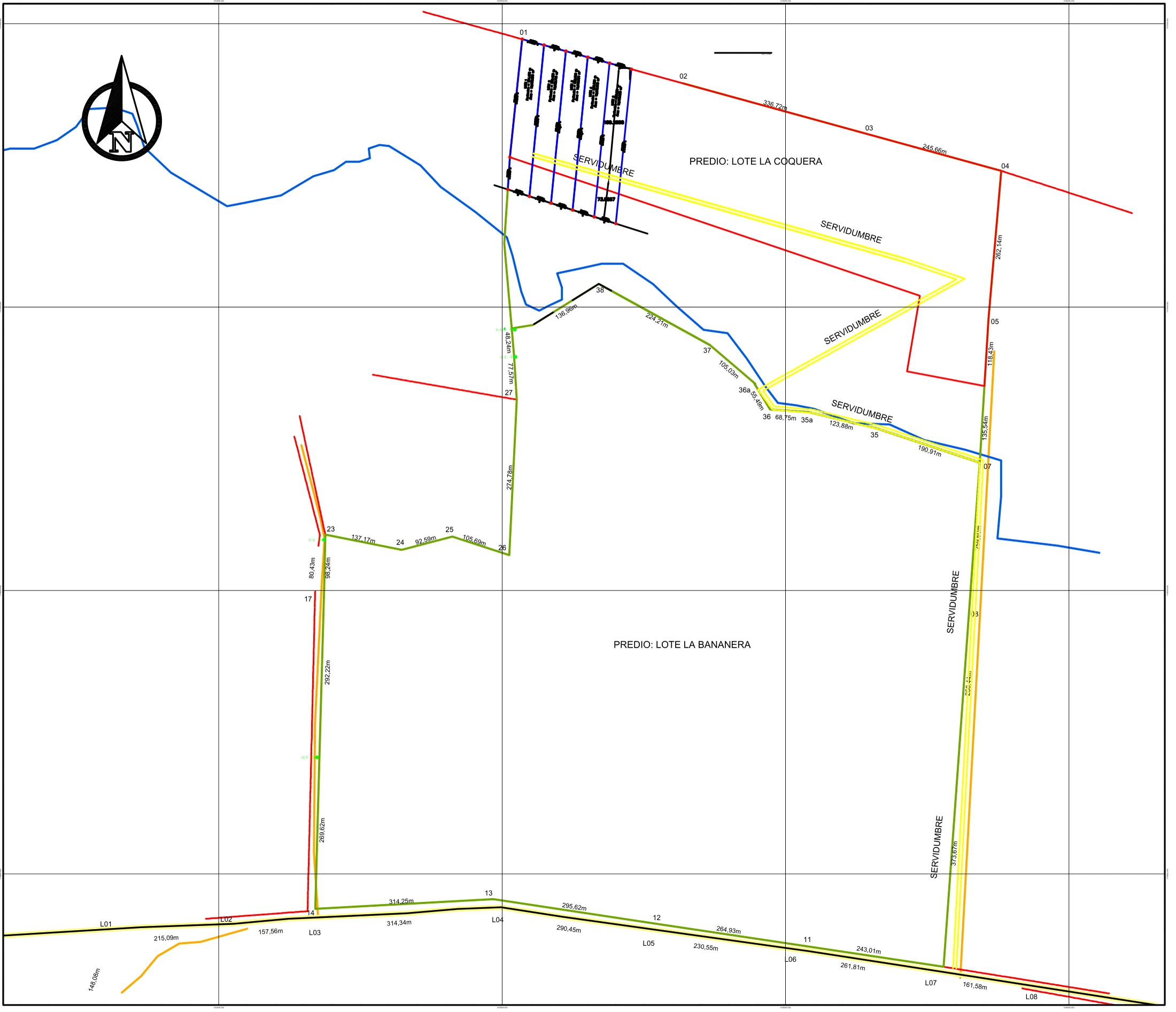
The plan indicates an easement in the southern sector. Its route and legal scope are subject to verification.
- Beach and low-tide land: public property (width not drawn to scale)
- Easement drawn on the plan
- Boundary line drawn on the plan
Diagram drawn from the vertices of the June 2024 survey plan. It shows where each lot sits in relation to the others; it does not replace the current plan or an up-to-date survey.
Compare the five lots
Compare each lot’s area, perimeter and position. Access, terrain and utilities require individual verification.
| Lot | Area (m²) | Hectares | Perimeter (m) | Position | Price | Details |
|---|---|---|---|---|---|---|
| Lot 1 | 10,725.26 | 1.07 | 614.48 | Westernmost of the five | On request | View details for Lot 1 |
| Lot 2 | 10,552.72 | 1.06 | 617.43 | Between Lot 1 and Lot 3 | On request | View details for Lot 2 |
| Lot 3 | 10,612.58 | 1.06 | 620.4 | Central lot | On request | View details for Lot 3 |
| Lot 4 | 10,672.81 | 1.07 | 623.35 | Between Lot 3 and Lot 5 | On request | View details for Lot 4 |
| Lot 5 | 10,730.55 | 1.07 | 626.25 | Easternmost of the five | On request | View details for Lot 5 |
| All five | 53,293.92 | 5.33 | On request |
Survey plan · June 2024reference areas Reference measurements from the June 2024 plan, subject to verification. Figures are rounded to two decimal places; the total uses the original measurements.
The June 2024 plans
View the detailed plan of the five lots and their position within the area. Enlarge the images to review reference measurements and boundaries. Plan labels are in Spanish.
The surroundings, in video and images
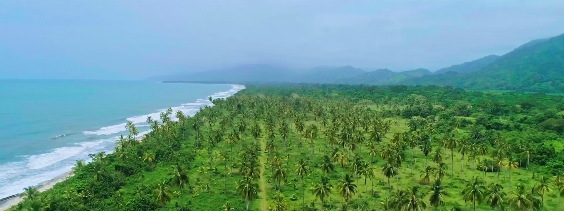
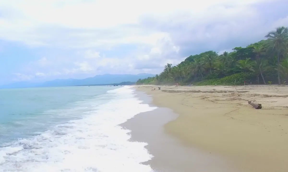
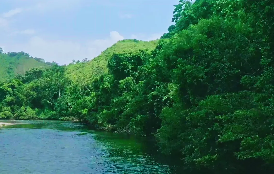
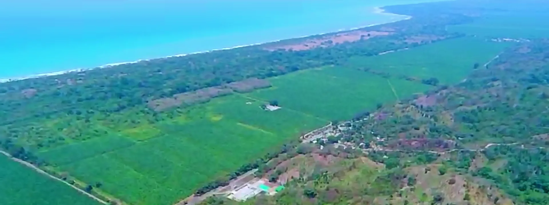
Views of the palm grove, coastline and Buritaca landscape. General surroundings footage, without individual lot boundaries.
Questions about the five lots
What is the price of the lots?
Price on request. Contact our team for the price and terms of the lot that interests you.
Are the published areas final?
Areas for the five lots at La Mami – La Coquera come from the June 2024 plan and are displayed rounded to two decimal places. Current area, boundaries and transferable private area must be verified before purchase.
What is the combined area of the five lots at La Mami – La Coquera?
The reference total from the June 2024 plan is 53,293.92 m², equivalent to 5.33 hectares. See the comparison table for each lot’s area.
Does each lot have its own title deed?
Legal subdivision and the rights included in each sale are pending documentary verification. Request the lot’s supporting documents before signing or making a payment.
What access and utilities do the lots have?
Access and the availability of water, electricity and sanitation require verification for each lot. The La Mami plan indicates a southern-sector easement whose route and legal scope must be confirmed.
Can I build or develop a tourism project?
Project feasibility depends on land-use rules, restrictions and applicable approvals. The offer does not include building permits or approved tourism projects.
Is the beach part of the lot?
The beach is not included in the sale. Transferable private area and boundaries require documentary and survey verification.
Can I enquire about more than one lot?
Yes. You can request terms for one lot, several, or all five lots at La Mami – La Coquera.
Which documents should I review before buying?
Request evidence of title or transferable rights, the current plan, access conditions, land-use rules and sale terms. Review these before signing or making a payment.
How do I arrange a visit?
Send the lot that interests you and your available dates by WhatsApp or email. Our team will confirm the meeting point and visit details.
Request information or arrange a visit
Request details for the lot that interests you, ask about the price and arrange a visit.
- Select the lot that interests you.
- Request the lot details and sale terms.
- Arrange a site visit.
- Review the documents before purchase.