Lot 2
La Mami – La Coquera, Buritaca, Santa Marta
Price on request
Coastal lot in Buritaca, Santa Marta, in a coconut-palm setting near the Caribbean Sea. Review its area, position on the plan and sale terms.
- Area
- 10,552.72 m²
- Equivalent
- 1.06 hectares
- Perimeter
- 617.43 m
- Position
- It lies between Lot 1 and Lot 3.
Survey plan · June 2024reference areas Reference measurements subject to survey and documentary verification. Figures are rounded to two decimal places. Perimeter and diagram are based on the June 2024 plan.
- Beach and low-tide land: public property (width not drawn to scale)
- Easement drawn on the plan
- Boundary line drawn on the plan
Diagram drawn from the vertices of the June 2024 survey plan. It shows where each lot sits in relation to the others; it does not replace the current plan or an up-to-date survey.
Lot 2 features
- Located in Buritaca, Santa Marta, Magdalena.
- Reference area · 2024 plan: 10,552.72 m² (1.06 hectares).
- It lies between Lot 1 and Lot 3. To the north, its boundary faces the shoreline.
- Coconut-palm setting on the Buritaca coast.
Information to verify
- Current area, boundaries and transferable private area.
- Legal subdivision and rights included in the sale.
- Southern-sector easement: route and legal scope.
- Access, water, electricity and sanitation.
- Permitted uses and restrictions.
- Price and terms of sale.
Documents and terms must be reviewed before signing or making a payment.
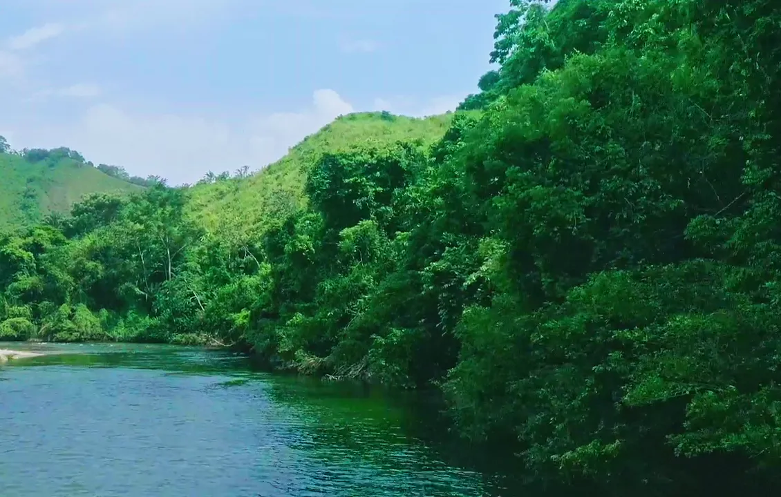
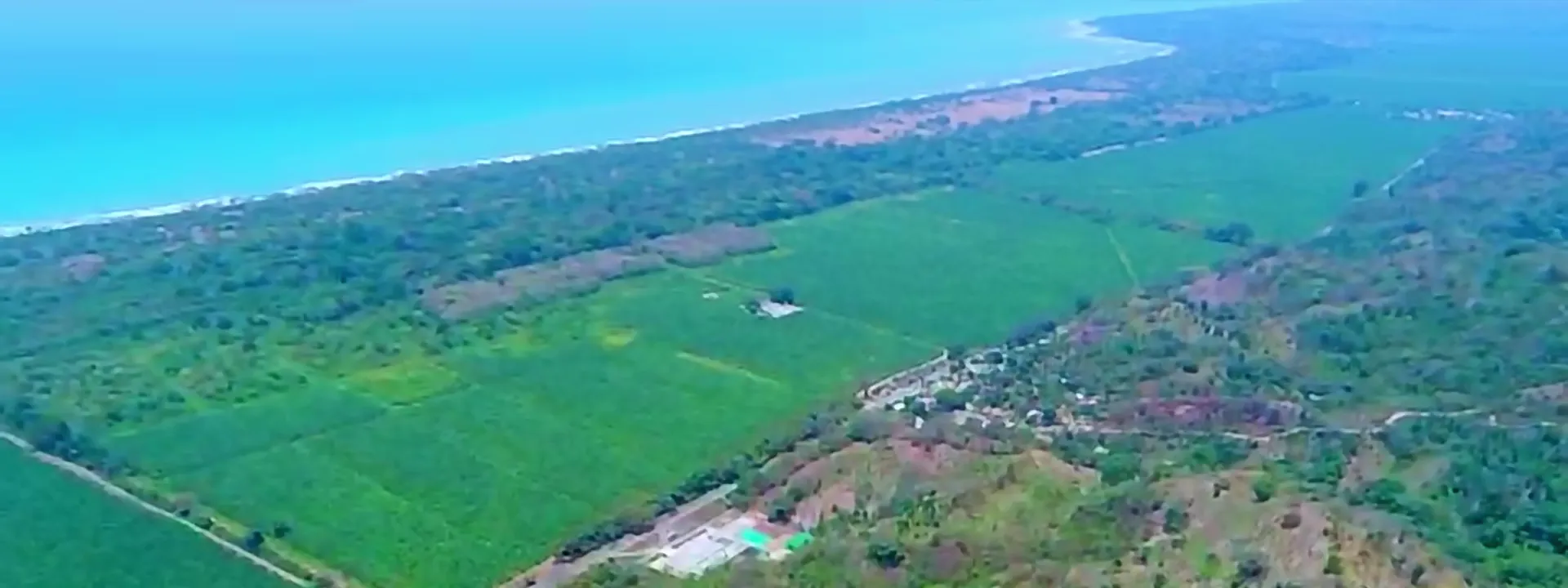
The surroundings of La Mami
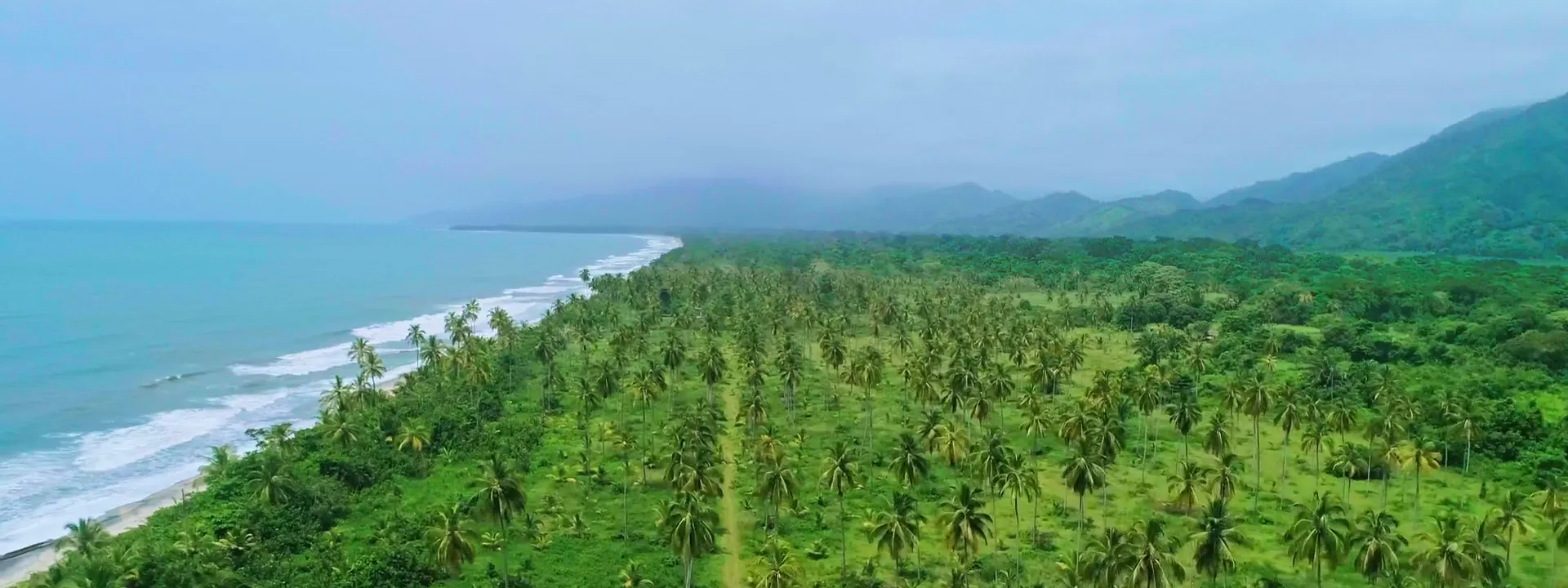
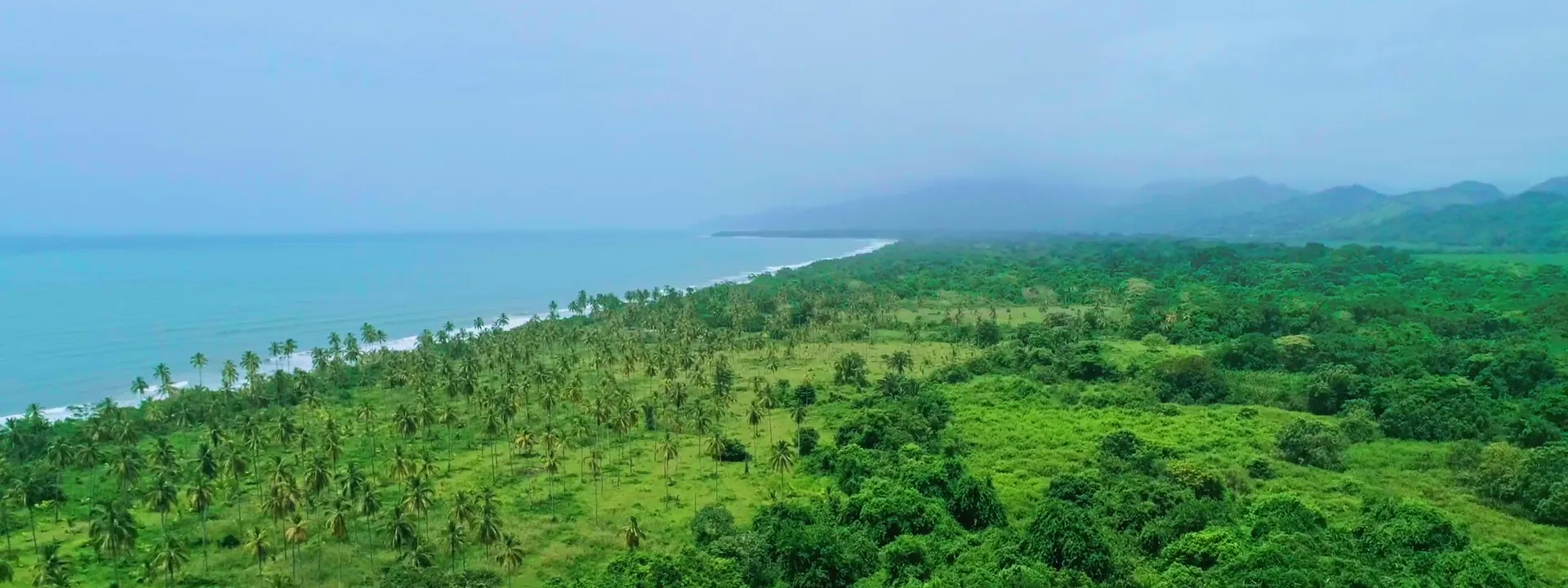
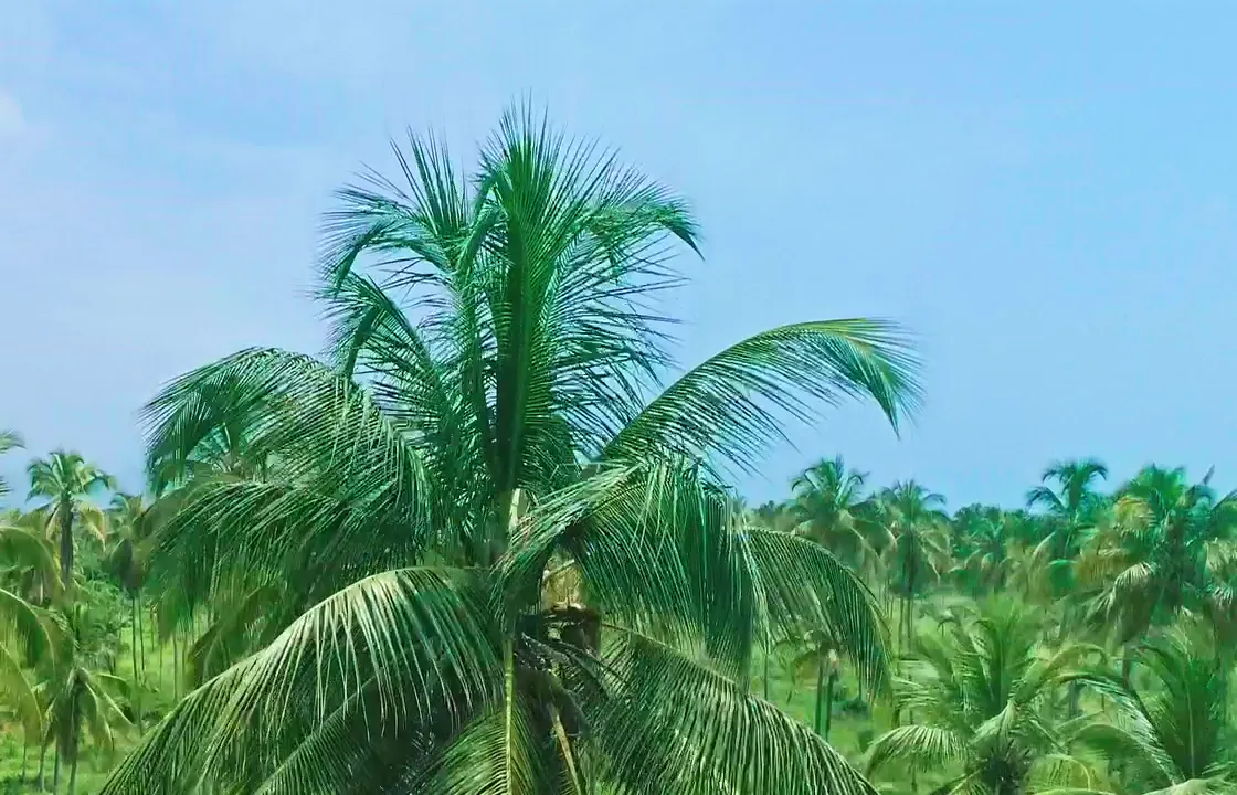
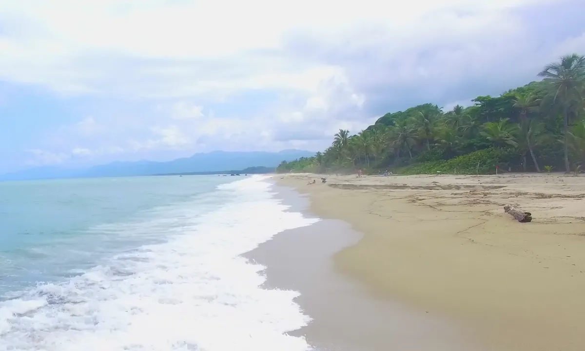
Images of the setting shared by the five lots, without individual lot boundaries.
Request information or arrange a visit
Request details for the lot that interests you, ask about the price and arrange a visit.
- Select the lot that interests you.
- Request the lot details and sale terms.
- Arrange a site visit.
- Review the documents before purchase.